Philippine government agencies and state universities are stepping up efforts to integrate landslide hazard data and early warning systems as the country faces increasing risks from extreme weather events and earthquakes.
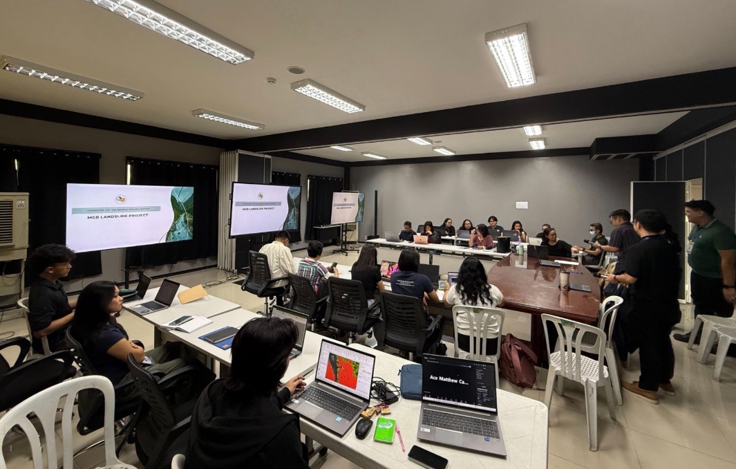
The Mines and Geosciences Bureau (MGB), together with the Department of Science and Technology’s Philippine Institute of Volcanology and Seismology (PHIVOLCS), the University of the Philippines National Institute of Geological Sciences, and the University of the Philippines Los Baños School of Environmental Science and Management, held a coordination meeting recently to align landslide research initiatives and improve disaster risk management systems.
The meeting, attended by members of the Geohazards and Fault Mapping Technical Working Group, focused on harmonizing methodologies for landslide hazard assessment, monitoring and forecasting, while improving data sharing among agencies.
The MGB presented updates on its National Geohazard Assessment and Mapping Program, which supports hazard mapping and disaster preparedness efforts nationwide. It also introduced developments under its Multi-hazard Impact-based Forecasting and Early Warning System, aimed at improving disaster response operations.
PHIVOLCS, meanwhile, shared progress on its earthquake-induced landslide inventory and related projects designed to strengthen hazard prediction and mapping capabilities. Among the initiatives discussed were the TOUGH Project, ML-PREP Project, and DYNASLOPE Project, which seek to develop scalable early warning systems and improve landslide forecasting technologies.
UPLB’s School of Environmental Science and Management presented updates on its Rainfall-Induced Landslide Early Warning Systems program, which focuses on monitoring rain-triggered landslides and debris flows.
The agencies said closer coordination was needed to standardize geohazard data protocols and improve the integration of rainfall and hazard information into national disaster risk reduction frameworks.
Participants also underscored the role of local governments and industries, including the mining sector, in supporting geohazard monitoring and disaster preparedness programs, particularly in vulnerable communities.